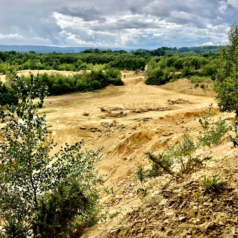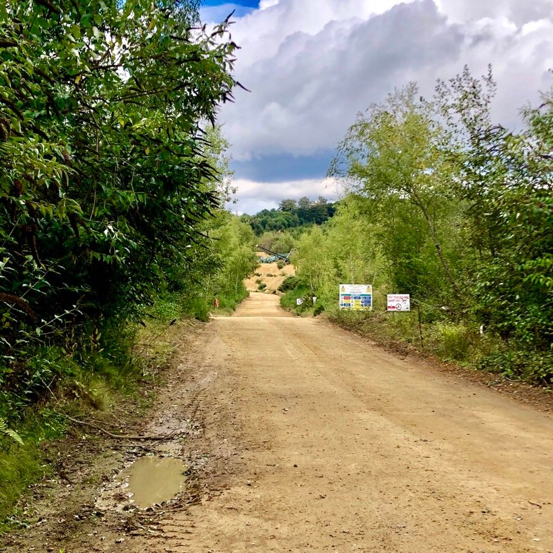


This was a step into the unknown as we had planned the route from home and had never been there before. Despite driving past numerous times we had no idea it was there!
The start of the route is through the woods which is ‘Right to Roam’ so although there are recognisable tracks where people have walked, it is not all signposted footpath. Even more reason to load the map on Footpath Planner!
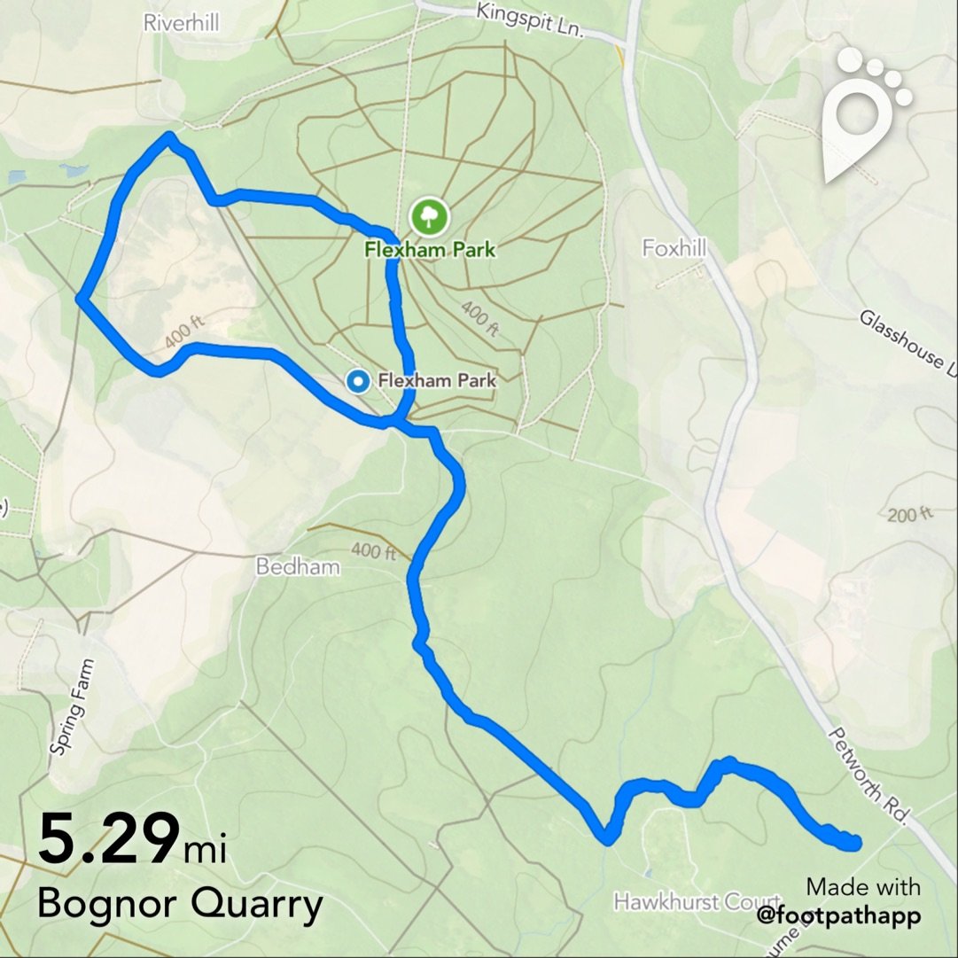
There is free parking at the bottom of the hill in the small ‘Mens Wildlife Trust’ car park. Probably enough room for about ten cars. Head off following the app, and just keep going. It’s a fabulous walk for kids and dogs through the woods but bear in mind it is quite strenuous with an overall 250 metre height gain.
When you get to the top you enter Flexham Park with its numerous woodland paths and the Serpent Trail. Here it’s easy to stray off the route and explore on your own, and if you keep referring to the Footpath app map, you will always know where you are in relation to the mapped walk.
This walk is around 5.3 miles and burns about 690 calories in around 10.8k steps.
If the whole walk seems too long and strenuous, there’s a very manageable cut down by parking on Wakestone Lane, (see the ‘Bognor Quarry Short’ post) which cuts out the hill climb and takes you around the quarry perimeter, also giving you more time and energy to explore the Flexham Park trails/paths.
