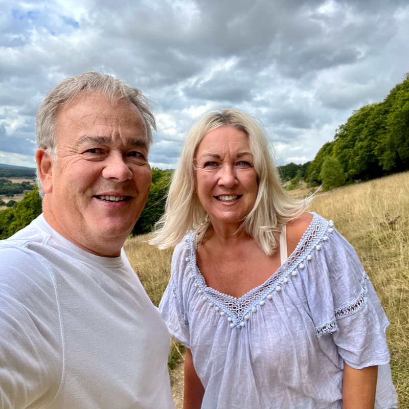
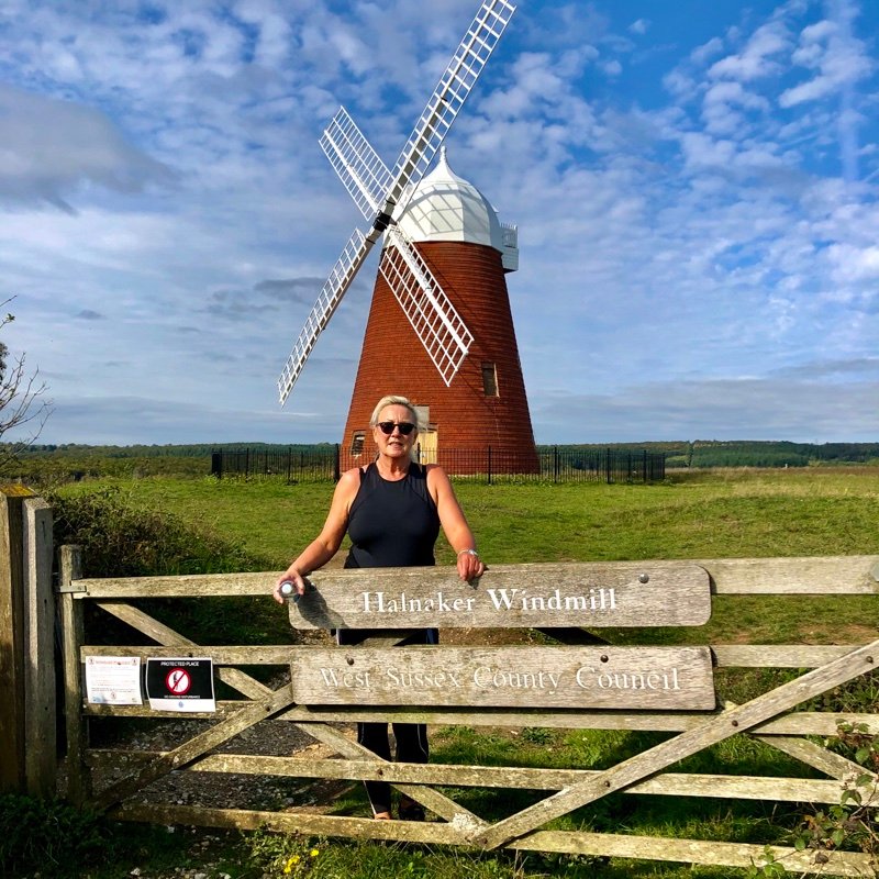
Welcome to Wicked Walks
We love walking and exploring, even better if there’s a pub or a good watering hole to relax in afterwards. So here are a selection of Wicked Walks that we think you will enjoy, sponsored by some fabulous establishments who would love to see you when you are done.


How Does it Work?
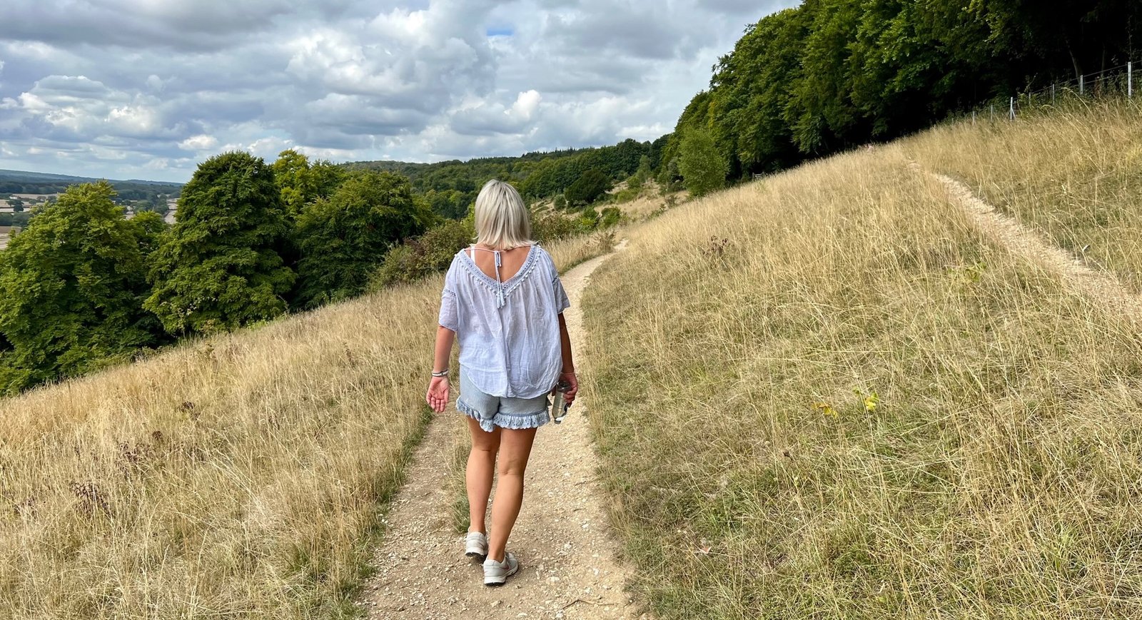
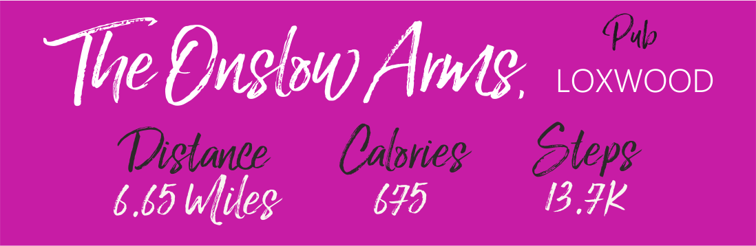
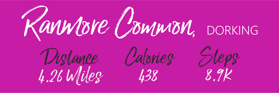
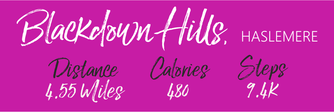
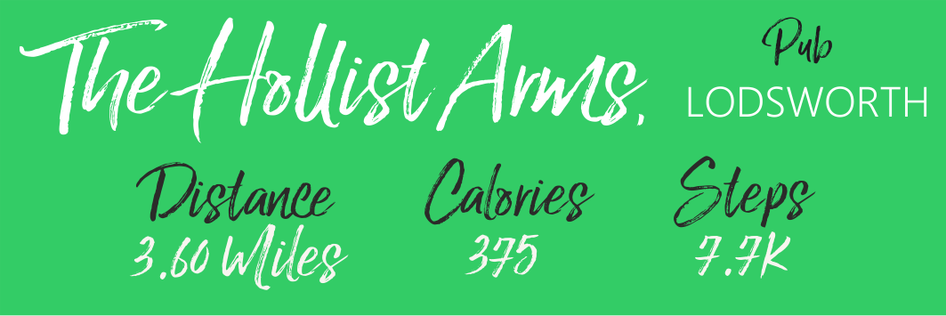
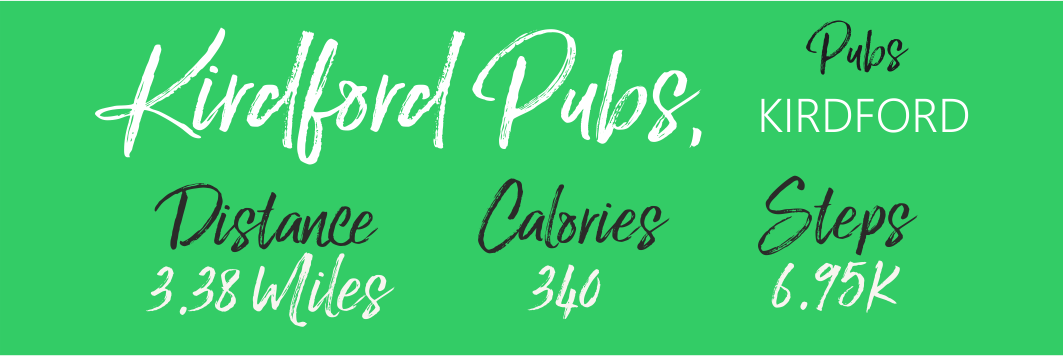
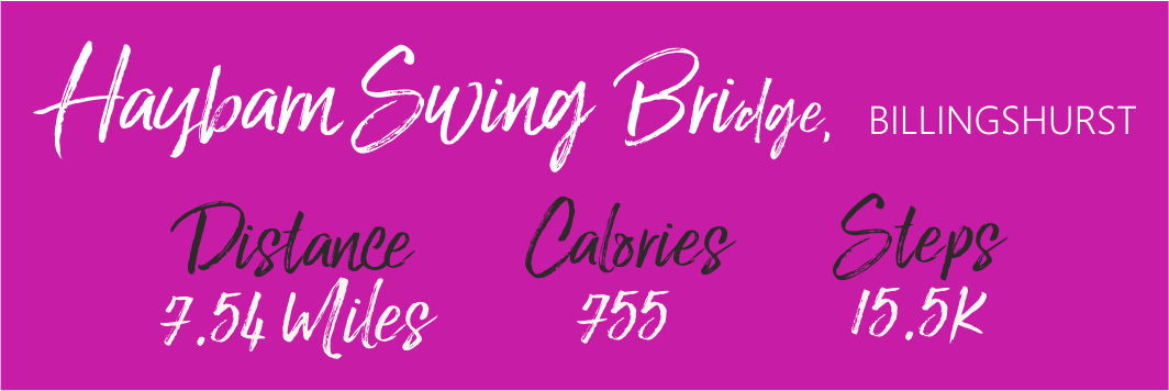
We built the idea around the ability to access a number of free to use apps, so when you click into any walk you will be able to watch a short video comprised of pictures taken around the walk, a short description which gives an estimation of the amount of steps taken and calories burned, and the distance.
Below the description there are links to the local weather, information regarding the pub or venue that has sponsored the walk, the What3Words location, and the Footpath App map of the walk. All the links work well on your phone, even the web based versions in whatever browser you use, but we find it easier to use the links in the specific Apps which are well worth downloading, so here are the links:
Once you you have the What3Words location you can use it to navigate to the start of the walk, often the best place to park if you are driving. Please don’t assume you can park in a pub car park, and always seek permission before leaving your car there.
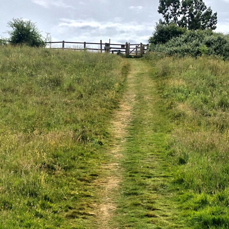
When you are ready to walk and have downloaded the map into the Footpath Planner, you will see the blue dot that shows your location and all you need do is follow the route. If you stray, just check the map and find your way back to the planned section and carry on, it couldn’t be easier.